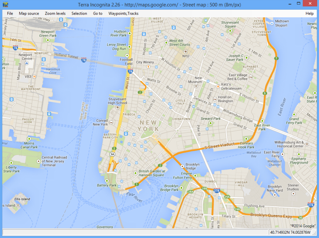
You need to quickly check a map? It’s never been easier. Launch the relevant app -- or just open a browser on any device -- and you’ll have all the information you need, within seconds.
Maybe your needs are a little more complex, though? Perhaps you want to compare maps from different providers; convert them from one format to another; add tracks, or waypoints? Then you may get better results from the open source Terra Incognita.
At its simplest, you can use the program as an easy way to access maps from various online sources: Google, Bing, OpenStreetMap, TuttoCita, Bergfex and many others. Just choose the provider, map type (hybrid, satellite, street or terrain maps for Google, say) and you’re ready to go.
Navigation is easy. You’re able to jump directly to a maps.google link, a particular latitude/ longitude or GPS position, and there are the usual controls to help find your way around (click and drag to pan across a map, left-click to zoom in, right-click to zoom out).
If you’re not happy with one map source or type, for whatever reason, then just choose another. Switch from Google’s satellite view to OpenStreeMap’s Cycle Map, say, and the new view quickly opens at the same position and zoom level.
Terra Incognita can also load tracks, waypoints and routes in assorted formats: Google’s kml/ kmz, OziExplorer’s plt/ wpt, GPS eXchange format (gpx), geocaching loc files, and more.
And once you’ve finished, the program is able to save the results (the entire map or a selected area) as a calibrated map file in OziExplorer, Kmz, JNX, GPSdash, TomTom, TrekBuddy and other formats.
There’s nothing too surprising here, and of course the most convenient way to access maps will still be via an app on your phone. But if you need a little more, particularly the ability to easily switch between maps from different providers, then Terra Incognita is well worth its tiny (495KB) download.

